Blueberries and yams reduce blood sugar in autumn
Recommended in this issue: Blueberry Yams Blueberry Yams Practice Atlas>>
yam 300g; about 168 calories
Excipients:

A few drops of white vinegar
Seasonings:

Total calories: 83 calories/person-More calories query Your body needs calories
Blueberry yam-Principle of Weight Loss Yams contain a large amount of mucus proteins, vitamins and trace elements, which can effectively prevent the precipitation of blood lipids on blood vessel walls and prevent cardiovascular diseases; it has the effect of lowering blood sugar and can be used to treat diabetes. It is a good food therapy for diabetic patients.
Yam contains amylase, polyphenol oxidase and other substances, which are conducive to the digestion and absorption of the spleen and stomach. They are dual-use medicinal and food products that can soothe the spleen and stomach. It can be eaten regardless of spleen yang deficiency or stomach yin deficiency.
Blueberry yam-making steps

1 Preparing materials
Prepare 1 yam, a little blueberry sauce, and a moderate amount of white vinegar.
2 Cut yam strips
Peel the yams, cut them into long strips, and soak them in clear water with a little white vinegar added. Yam skin can easily cause skin allergies, so it is best to wear gloves when peeling yam skin.
3 Boiled yam strips
Boil appropriate amount of water in the pan. After the water boils, pour in the yam strips and cook for 5-10 minutes to let the yam break. You can tie it with chopsticks. If you feel it can tie it through, it means you are cooked.

4 Cool and drain
Immediately after fish out, soak in cold white and boil, remove after cooling, and drain.
5 Display
Place the processed yam strips on a plate and arrange them into a "Jiugong Grid".
6 Completed
Add a little cold white to the blueberry sauce and dilute it, pour it on the yam strips.
Share it on my Weibo
Nutrition expert comments

This issue's consultant Zhang Ailing, weight loss case manager and full-time diabetes nurse, blueberry yam is rich in nutrients, tonify the spleen and stomach and lower blood sugar.
For health preservation in autumn, a light diet is appropriate
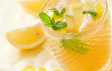
Zhang Ailing: Yam contains saponins and mucus, which have lubricating and moisturizing effects, so it can nourish lung qi and nourish lung yin. Blueberries are rich in vitamin C, but blueberry jam should not be added too much, just moderate amount. Blueberry yam can be eaten as a weight-loss meal and dinner. It is low-calorie and nutritious. It tastes better when paired with natural tea drinks.>> See more ways to lose weight