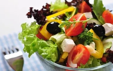
Slimming and age-reducing private kitchen, super detoxification cold black fungus
Recommendation for this issue: Colored black fungus: Photo gallery of cold black fungus>>

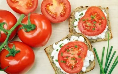
Black fungus 50g; about 102 calories
Excipients:

1 red pepper; about 30 calories

1 handful of coriander; about 10 calories
Seasonings:

Salt

white sugar
Total calories: 68 calories/person-more calories check check the calories your body needs
Black fungus salad-the principle of losing weight
After being cooked, black fungus contains about 80% water, and the rest is pectin, polysaccharides, and protein, so black fungus is a food that is "full but has no calories".
Black fungus has the effect of detoxifying and beautifying skin. It can treat constipation, help the body expel toxins, and make the skin more shiny.
Black fungus also has a high iron content and has the effect of replenishing blood for women, especially female vegetarians.
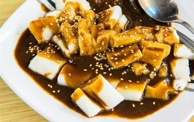
Black fungus salad-making steps
1 Preparing materials
Prepare 50g fungus, 1 red pepper, 1 handful of coriander; appropriate amount of salt, soy sauce, sesame oil, mature vinegar, and white sugar.
2 soak fungus
Soak black fungus in cold water for half a day. Clean it and tear it into small flowers.
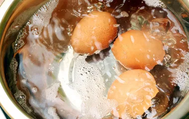
3 Blanking water
Put the fungus into a boiling water pot and blanch it, remove the cool boiling water, drain the water, and place it in a large bowl.
4 Cut into silk
Cut the red pepper into thin strips, cut the coriander into sections and put into a large bowl.
5 With seasoning
Use a small bowl, add appropriate amount of salt, soy sauce, sugar, vinegar and sesame oil, mix well with chopsticks, and pour into a large bowl.
6 Mix well
Mix fungus, red pepper, coriander and seasoning well and serve.
Share it on my Weibo
nutrition consultant
网站图片位

Nutrition consultant Sylvia Wang Wang Wei, Master of Food and Human Nutrition, University of Florida Black fungus is a category of food that "fills the stomach but has no calories."
During weight loss, you should eat more low-calorie foods
Sylvia Wang: After cooking, black fungus contains about 80% water, and the rest is pectin, polysaccharides, and protein. It is full and low in calories. Contains anticoagulant, which prevents arterial thrombosis. It also has a high iron content, which has the effect of replenishing blood for women.>> See more ways to lose weight