Nutritional breakfast slimming recipes corn egg pancakes
Recommendation for this issue: Corn egg pancakes The recipe for cornegg pancakes>>

flour 40g; about 140 kcal

3 eggs; about 200 kcal
Excipients:

Half of corn, about 80 kcal

A few peas, about 15 kcal
Seasonings:

A little salt
Total calories: 150 calories/person-more calories check check your body needs calories
Corn egg pancakes-The principle of weight loss If you lose weight in winter, you should have regular and quantitative meals with balanced nutrition. Corn and egg pancakes are made with flour and eggs as the main ingredients and paired with corn grains. They are simple to make and nutritious. They are a good breakfast slimming recipe.
Corn egg pancakes are rich in protein, starch, crude fiber, carbohydrates, carotene, calcium, phosphorus, iron, potassium and various amino acids and vitamins needed by the human body, which can promote digestion, help lose weight and detoxify.
Corn egg pancakes-making steps

1 Preparing materials
Prepare half a sweet corn cob, 3 eggs, 40g of flour, and a few peas (or edamame).

2 Take grains
Take the corn kernels, take the peas (or edamame) kernels, cook, pick up and strain to drain. Set aside.

3 Mix batter
Add flour in water and stir well, then add eggs one by one and mix well. The batter should be thick and add flour or water as appropriate.
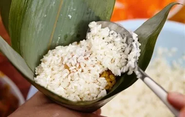
4 Add corn
Add corn kernels and beans, add appropriate amount of sugar and salt and mix well.

5 pancakes
Add a little oil to the pan, scoop up the batter with a spoon and pour it into the pan. Wait for one side to solidify, turn over with a spatula, and continue to fry until solidified.
6 Completed
Roll up or cut into slices and serve.
Share it on my Weibo
Nutrition expert comments

This issue's consultant Zhang Ailing weight loss case manager and full-time diabetes nurse corn-egg pancakes are made with flour and eggs as the main ingredients, combined with corn grains, and are rich in nutrients.
Lose weight in winter, and the combination of diet thickness and thickness makes it healthier
Zhang Ailing: Corn egg pancakes are rich in protein, starch, crude fiber, carbohydrates, carotene, calcium, phosphorus, iron, potassium and various amino acids and vitamins needed by the human body. Corn has a high cellulose content, 10 times that of rice. It can stimulate gastrointestinal peristalsis, promote digestion, and help lose weight and detoxify.>> See more ways to lose weight